
English| EUR
Suggested for you
More currencies
Choose a language
Arraial do Cabo sits on the eastern edge of Rio de Janeiro State, far enough from the capital to feel like a secret but close enough for a comfortable day trip or weekend escape. The journey crosses urban sprawl, climbs into green hills, and descends to a coastline where the water shifts from Atlantic gray to Caribbean turquoise. This guide covers the exact distance, route variations, and what to expect along the way.
Quick answer
The arraial do cabo distance from rio measures approximately 165 kilometers by road, typically covered in two and a half to three hours under normal traffic conditions. The route follows the RJ-124 highway via São Pedro da Aldeia and Cabo Frio, with minimal elevation changes once past the metropolitan exits. Travel time fluctuates most on Friday evenings and Sunday afternoons when weekend traffic peaks along the Lakes Region corridor.
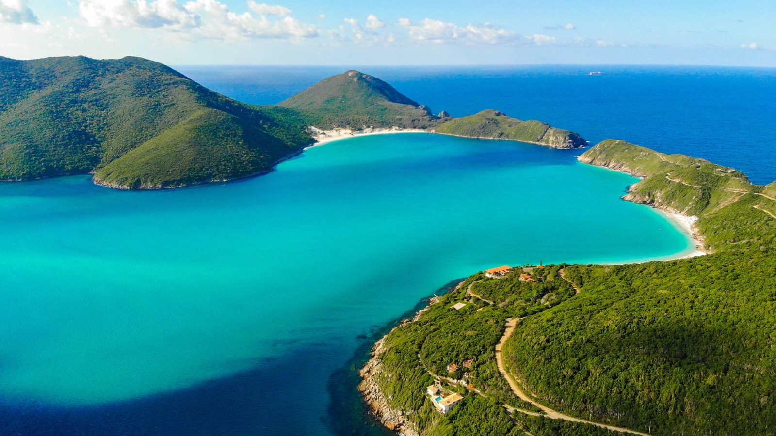
The coastal municipality of Arraial do Cabo occupies a narrow peninsula jutting into the Atlantic, anchored by a microclimate that produces some of the clearest water along Brazil's southeastern shore. Its position 165 kilometers east of Rio de Janeiro places it just beyond the sprawl of the Baixada Fluminense, in a region where the coastal plain widens and the Serra do Mar recedes inland. The separation is enough to shift the character of the landscape—dense favela hillsides give way to salt lagoons, and the urban hum fades into wind and surf. Understanding the arraial do cabo distance from rio requires accounting for more than the odometer reading. The route threads through three distinct zones: the congested exits from Rio's Zona Sul or Barra da Tijuca, the open stretch along the RJ-106 or BR-101 toward the Lagos Region, and the final coastal segment past Cabo Frio. Each leg carries its own rhythm and potential delays. Early morning departures clear the metropolitan bottlenecks before they form, while late-afternoon returns often meet gridlock at the Niterói bridge or the tunnel approaches. Most travelers follow the RJ-124 highway, which hugs the lagoons of Araruama and Saquarema before turning east toward Cabo Frio. The road is paved and well-marked, with rest stops and fuel stations clustered at the midpoint near São Pedro da Aldeia. An alternative inland route via the BR-101 adds distance but bypasses coastal traffic, a trade worth considering during holiday weekends when the beach towns swell. The final 30 kilometers from Cabo Frio to Arraial do Cabo run along a two-lane road that curves past salt flats and dunes, with turnoffs to Praia do Forte and Praia Grande visible from the highway. The drive reveals why Arraial do Cabo remains less developed than its neighbors. The peninsula's thin soils and limited freshwater supply constrained growth, preserving the fishing village scale even as tourism expanded. That remoteness is part of the draw—the journey itself becomes a filter, selecting for visitors willing to trade proximity for clarity. The water here refracts light differently, a function of the upwelling currents that pull cold, nutrient-rich water from the deep Atlantic trench just offshore. By the time you reach the final descent into town, the shift from Rio's urban coast to this windswept edge is complete.
“The journey itself becomes a filter, selecting for visitors willing to trade proximity for clarity.”
Arraial do Cabo is located approximately 165 kilometers east of Rio de Janeiro. Travelers typically reach the town by private vehicle via the BR-101 and RJ-124 highways or by long-distance bus from the Rio de Janeiro bus terminal.
BR-101 to RJ-124 (Via Lagos)
Auto Viação 1001 from Rodoviária do Rio
To avoid peak midday crowds and secure better spots at popular beaches, the best arrival window is 07:00–10:00.
To manage the distance from Rio efficiently, the best arrival window is 07:00–10:00 to avoid peak midday crowds and secure better spots at popular beaches. Planning your departure to align with this window helps mitigate traffic congestion often associated with this route.
—
Visiting Tuesday through Thursday minimizes travel delays and beach density.
Hot, 28°C–32°C
Expect significant tourist traffic and crowded conditions on weekends.
Mild, 23°C–26°C
This period offers a balance of manageable road traffic and stable weather conditions.
Cooler, 20°C–24°C
Roads are clearer, though water temperatures remain lower during these months.
Verdict: The optimal approach is to travel on a weekday, aiming for an arrival between 07:00–10:00 during the shoulder months of April or October.
This timeline accounts for the roughly 2.5-hour journey from Rio, arriving within the recommended 07:00–10:00 window to maximize beach time before crowds build. The plan covers a full day trip with return travel in the evening.
Leave early to avoid highway congestion and arrive at Arraial do Cabo during the optimal morning window. Budget 2.5–3 hours for the drive or bus journey.
Start at this sheltered beach, accessible via a short trail from Praia dos Anjos. Arrive early to claim a good spot before midday heat.
If joining a boat tour, this is typically the highlight stop—crystal-clear water and white sand. Tours usually allocate 45–60 minutes here.
Return to the main harbor area for grilled fish and seafood at one of the waterfront kiosks. Budget an hour for the meal and a short rest.
A quick stop for panoramic views over the coastline. The lookout is a short walk from the town center.
End the beach day at this small, scenic cove near Pontal. Less crowded in late afternoon and offers calm water.
Begin the return journey to avoid arriving too late. Factor in potential evening traffic on the approach to Rio.
Access to the city and its public beaches is free of charge. Financial considerations only apply if you choose to participate in specific organized tours or activities.
Verdict: Most visitors pay 0 BRL for entry, with total costs depending solely on optional tour selections.
Arraial do Cabo remains accessible to visitors throughout the entire week. The city does not enforce restricted access hours for public entry.
Everything you need to know about arraial do cabo distance from rio
The city is approximately 165 kilometers away from Rio de Janeiro. Travelers often refer to this stretch as the arraial do cabo distance from rio when planning their coastal itinerary.
The journey usually takes between two and a half to three hours by road. Traffic conditions can significantly affect the travel time over the arraial do cabo distance from rio.
The city and public beaches do not have an entrance fee. You will only encounter costs if you choose to participate in specific boat tours or private excursions.
We recommend an arrival window of 07:00–10:00 to maximize your beach time. Getting there early helps you avoid peak midday crowds often seen after completing the arraial do cabo distance from rio.
Many visitors find the trip quite feasible as a day excursion from the capital. Planning your transport in advance makes traversing the arraial do cabo distance from rio much smoother.
The route typically involves taking the BR-101 and RJ-124 highways. While the arraial do cabo distance from rio remains constant, road conditions or construction can lead to minor fluctuations in transit time.
The destination is accessible every day of the week from 00:00–23:59. Please note that while the city is always open, daylight hours are preferred for beach activities.
There is no charge for city access or public beaches. Fees apply only to specific tours you might opt to join upon arrival.